The Roads Less Driven
Route 66 and the Pacific Coast Highway earn their reputations - but their popularity comes at a cost. Crowded overlooks, booked-solid lodging, and bumper-to-bumper scenic pull-offs are now part of the deal. Meanwhile, thousands of miles of equally striking American road sit quietly waiting, visited mostly by locals and a handful of genuinely curious drivers who bothered to look past the marquee options.
These hidden-gem drives aren't secret in any gatekeeping sense - they're simply overlooked. Some follow designated National Scenic Byways; others are just state highways that happen to thread through extraordinary terrain. What they share is a reward-to-effort ratio that tends to outperform the famous stuff. For more context on how scenic byways compare with faster alternatives, see our guide to scenic byways vs. interstates.
Below are seven drives that reward the traveler willing to go slightly off-script. Always verify current road conditions, fuel stop distances, and seasonal access with state DOT websites or official park sources before you set out - conditions on remote roads can change quickly.
The Loneliest Road - US-50 Across Nevada
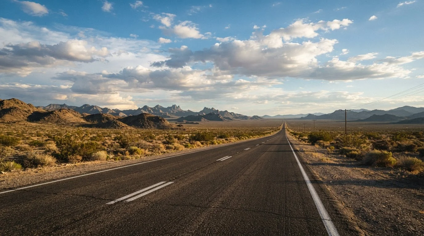
Distance: Roughly 410 miles from Ely to Fernley. Life magazine once dubbed US-50 "the loneliest road in America," and the Nevada tourism board leaned into it - they even issue a passport booklet for stamping at towns along the route. The drive crosses the Great Basin, a high desert punctuated by distant mountain ranges that rise and disappear like mirages. Small towns like Austin and Fallon offer genuine Western character without the manufactured nostalgia of more famous routes.
Fuel up at every opportunity. Some gaps between towns exceed 70 miles. Cell service is sparse in stretches, so a downloaded offline map is worth having. The best light hits the basin floors at dawn and dusk, turning the scrubland gold.
Life magazine called US-50 the loneliest road in America - Nevada turned that into a badge of honor.
Volcanic Legacy Scenic Byway - Northern California to Oregon
Distance: Approximately 500 miles from Lassen Volcanic National Park to Crater Lake. This Congressionally designated All-American Road connects two of the Pacific Northwest's most dramatic volcanic landscapes. Lassen's steaming fumaroles and boiling mud pots give way to lava beds, ancient forests, and eventually the impossibly blue caldera of Crater Lake - one of the deepest lakes in the world.
The byway passes through small California and Oregon towns that see a fraction of the crowds that flood the national parks' main entrances. Check seasonal opening dates for higher-elevation segments, which may remain snow-covered into early summer. The National Park Service and state DOT websites carry current road status information.
Crater Lake's caldera - one of the world's deepest lakes - anchors the northern end of this volcanic corridor.
Utah's Bicentennial Highway - UT-95
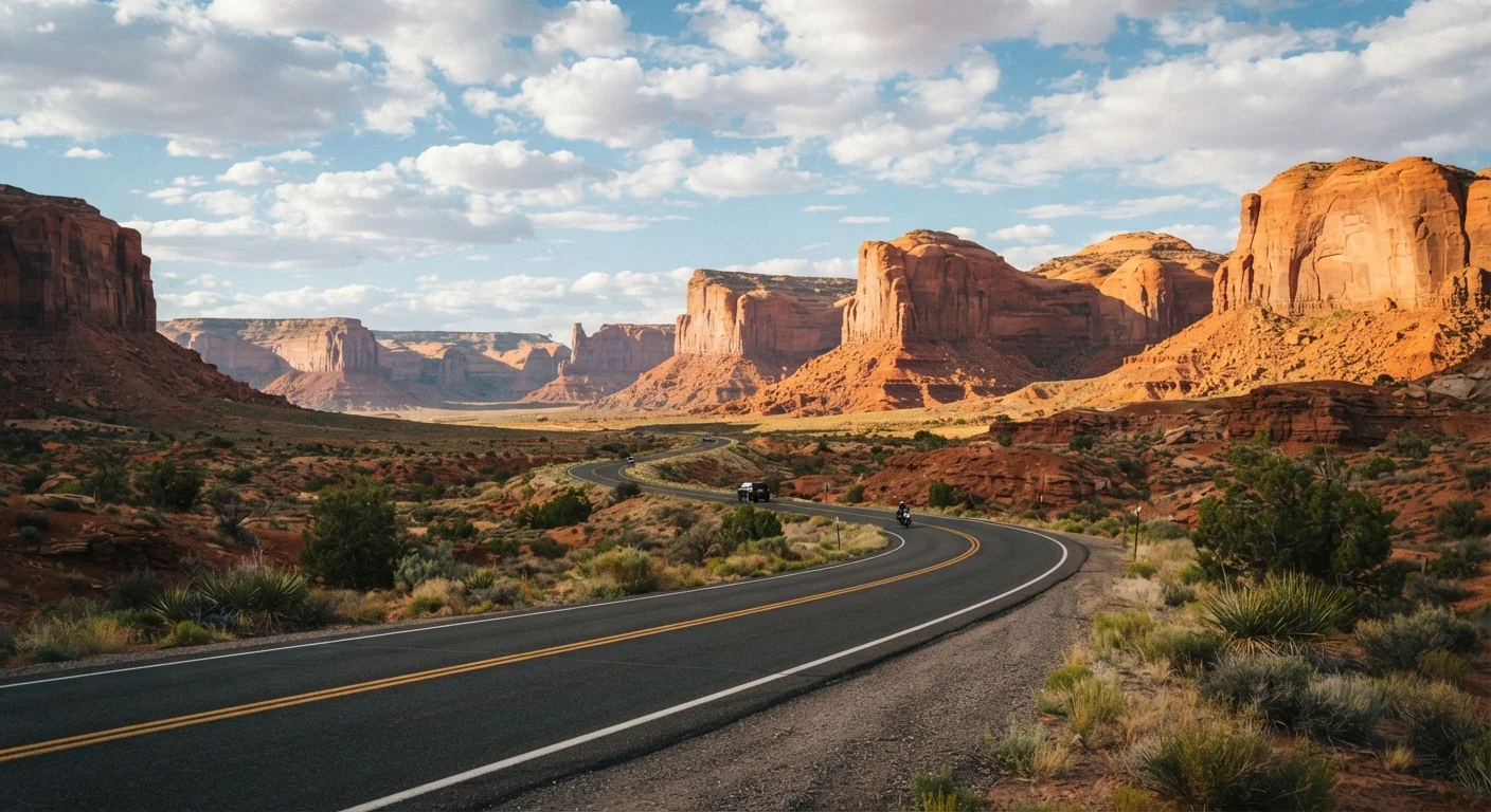
Distance: About 130 miles from Blanding to Hanksville. Locals sometimes call UT-95 the most scenic road in Utah - a bold claim in a state that includes Zion, Bryce, and Arches. The highway cuts through canyon country that most visitors simply never reach, passing Natural Bridges National Monument (one of the least-visited national monuments in the Southwest) and crossing the Colorado River via a bridge that offers vertigo-inducing views.
The road is paved and generally in good condition, but services are extremely sparse. Carry extra water, food, and a full spare tire. Temperatures in canyon country can swing dramatically between morning and afternoon, especially in spring and fall.
UT-95 cuts through canyon country so remote that most Southwest visitors never encounter it.
Beartooth Highway - Montana and Wyoming
Distance: About 69 miles between Red Lodge, MT, and the northeast entrance of Yellowstone. Frequently cited by those who've driven it as one of the most spectacular roads on the continent, the Beartooth Highway climbs to over 10,900 feet and traverses a tundra plateau where snowfields linger well into July. The views into the Absaroka-Beartooth Wilderness are staggering.
The highway is seasonal - typically open from late May through mid-October, though exact dates vary by year and snowpack. Always confirm current status with the Wyoming or Montana DOT before departure. Altitude can affect both drivers and vehicles; allow extra braking distance on the steep switchbacks and watch for afternoon thunderstorms.
At over 10,900 feet, the Beartooth plateau offers tundra views that most Yellowstone visitors never see.
Natchez Trace Parkway - Mississippi to Tennessee
Distance: 444 miles from Natchez, MS, to Nashville, TN. Unlike the stark landscapes of the West, the Natchez Trace offers lush, layered history. The road follows a path used by Indigenous peoples, traders, and soldiers for centuries before becoming a National Parkway managed by the National Park Service. Commercial trucks are prohibited, speed limits are kept low, and there are no billboards - the effect is a kind of pastoral calm that's genuinely hard to find on American roads today.
Stops along the way include ancient Mississippian mound sites, Civil War earthworks, and preserved sections of the original sunken trace. The parkway passes through small Mississippi and Tennessee towns where local cooking - smoked meats, catfish, and fresh pies - is a legitimate draw in its own right.
No trucks, no billboards, and 444 miles of Southern history - the Natchez Trace is unlike any other American parkway.
Black Hills Backcountry Byways - South Dakota
Distance: Variable; the core Iron Mountain Road and Needles Highway together total roughly 35 miles. Most travelers visit the Black Hills for Mount Rushmore and call it done. The Iron Mountain Road and Needles Highway, however, are engineering oddities and visual spectacles that most visitors drive right past. Iron Mountain Road was designed with intentional spiraling loops and narrow tunnels that frame Mount Rushmore in the distance - a theatrical trick built right into the pavement. The Needles Highway threads through granite spires so narrow that some rock formations nearly brush the sides of passing vehicles.
These roads have tight clearances and are not suitable for large RVs or vehicles towing trailers. Check current access and any seasonal restrictions through Custer State Park's official resources before planning your route.
Iron Mountain Road's spiral bridges and tunnels were engineered to frame Mount Rushmore like a painting.
Amelia Island to Key Largo - Florida's A1A
Distance: Approximately 400 miles of drivable coastal highway. Florida's A1A hugs the Atlantic coastline from Amelia Island in the north to the edge of the Keys in the south, threading through beach towns, barrier islands, and stretches of undeveloped coast that US-1 and I-95 skip entirely. The pace is unhurried by necessity - two lanes, frequent beach crossings, and the occasional drawbridge - which happens to be the right speed for what the road is showing you.
Sections near Flagler Beach, New Smyrna, and the northern Treasure Coast see far fewer visitors than the resort clusters around Miami or Orlando. Seasonal factors matter: hurricane season runs from June through November, and some low-lying coastal sections can flood. Check conditions locally before driving after significant storms.
A1A's barrier-island routing puts the Atlantic within reach all the way down Florida's coast - no interstate required.
Planning Your Hidden-Gem Drive
Turning any of these routes into a satisfying trip comes down to a few principles. First, build in time buffer - roads with spectacular scenery invite spontaneous stops, and rushing them defeats the purpose. Second, research fuel gaps in advance; several routes listed here have stretches of 50-80 miles between stations, and that matters in a vehicle with a smaller tank. Our article on what no one tells you before a US road trip covers this kind of practical prep in detail.
Download Maps Before You Leave Cell Range
On remote drives like US-50 or UT-95, reliable cell service can disappear for long stretches. Downloading offline maps for your route - including waypoints for fuel stations and campgrounds - before departure is a simple step that can prevent a stressful situation. Most major mapping apps support offline downloads for defined geographic areas.
These roads also tend to sit near communities that are quieter and more affordable than their famous neighbors - a genuine advantage for cost-conscious travelers. For more on that pattern, explore our piece on underrated destinations that often cost less. And if you want to weigh the broader strategic tradeoff between coastal and interior driving, our coastal vs. interior highways comparison lays that out clearly.
Drive curious, drive prepared, and give yourself permission to pull over whenever something looks interesting. That's the whole point.