The Routes That Defined American Road Culture
America's great road trips aren't just drives - they're living corridors of geography, history, and culture that have shaped how the country sees itself. From the storied stretches of Route 66 to the cliff-hugging curves of the Pacific Coast Highway, each route offers something distinct. But what actually separates an iconic road from an ordinary one?
| Longest iconic US road trip route | Route 66 (~2,400 miles, Chicago to Santa Monica) (National Historic Route 66 Federation) |
| Shortest major scenic road | Going-to-the-Sun Road (50 miles, Glacier National Park) (National Park Service) |
| Blue Ridge Parkway speed limit | 45 mph (strictly enforced, no commercial trucks) (National Park Service) |
| PCH Big Sur segment length | Approximately 90 miles of the most dramatic coastline (California Department of Transportation) |
| Going-to-the-Sun Road peak elevation | 6,646 ft at Logan Pass (National Park Service) |
| Florida Keys route length | ~160 miles, Miami to Key West via US-1 (Florida Department of Transportation) |
The answer usually comes down to three things: landscape variety, cultural depth, and the quality of what you encounter between major stops. The best routes reward slow travelers who detour into small towns, linger at overlooks, and eat at diners with hand-lettered menus. Before you hit the road, it's worth understanding what each corridor genuinely offers - and what to realistically expect.
For a broader look at what first-time road trippers often overlook, see what no one tells you before you go.
Route-by-Route Breakdown: What Each Corridor Delivers
Here's a practical, honest look at America's most-driven routes and what genuinely distinguishes each one.
Scenic Byway
A road designated by state or federal authorities for its outstanding scenic, cultural, historical, or natural qualities. Designation often comes with signage, protective guidelines, and travel resources.
Parkway
A limited-access road designed primarily for recreational driving, typically managed by the National Park Service. Parkways prohibit commercial vehicles and are built to blend into the surrounding landscape.
Logan Pass
The highest point accessible by vehicle in Glacier National Park, Montana, sitting at 6,646 feet along Going-to-the-Sun Road. It is typically accessible only from late June through mid-October.
Mother Road
The popular nickname for Route 66, coined by author John Steinbeck in 'The Grapes of Wrath.' It refers to the route's role as a primary migration corridor during the 1930s Dust Bowl era.
Route 66 - The Mother Road (Chicago to Santa Monica, ~2,400 miles)
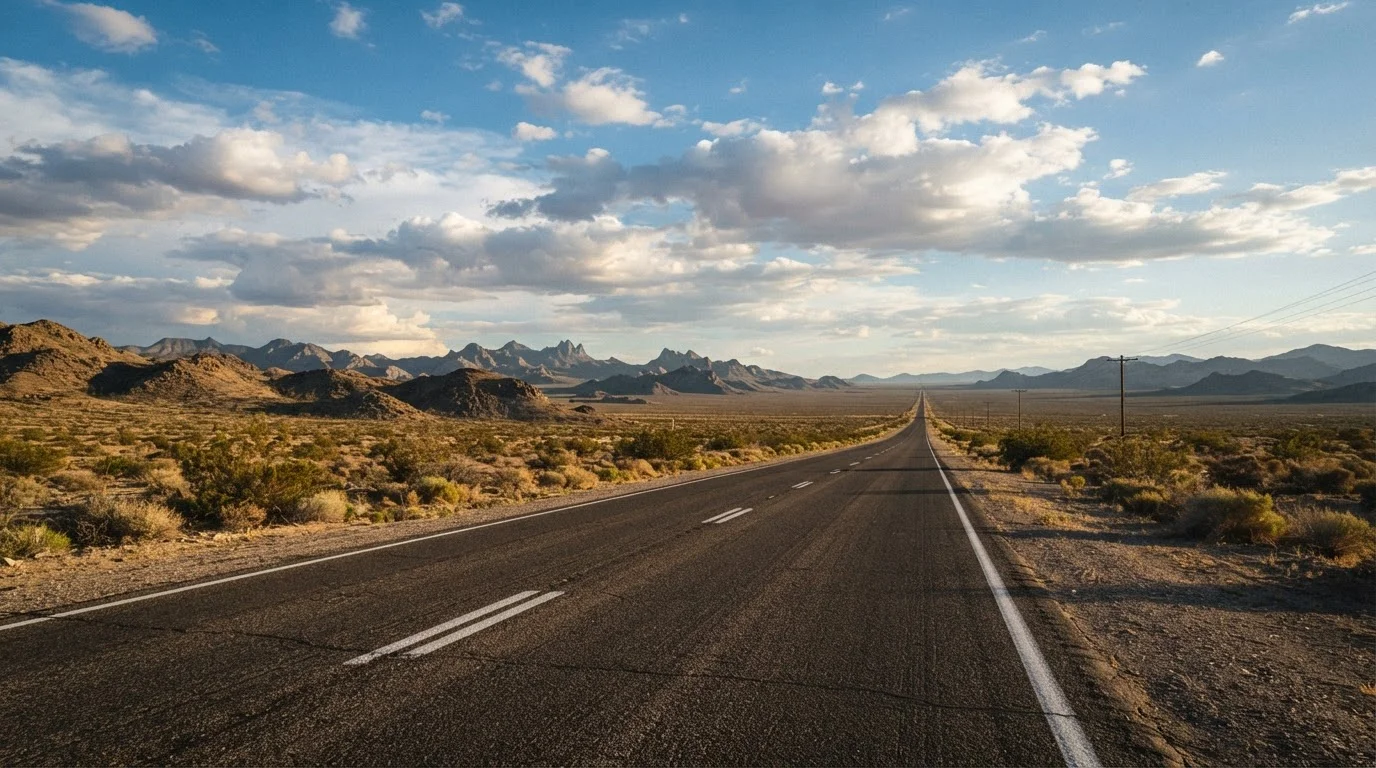
Running from Illinois to Southern California, Route 66 is as much a historical artifact as a drive. Neon-lit motels, roadside diners, and mid-century Americana make it endlessly photographable. Expect long stretches through the Texas panhandle and New Mexico high desert - gorgeous but remote. Services can be sparse, so plan fuel stops carefully.
Pacific Coast Highway (PCH) - Highway 1 (Oregon Border to San Diego, ~650 miles in California)
The PCH is arguably the most visually dramatic coastal drive in the country. The Big Sur segment alone - cliffs plunging into the Pacific, redwood groves, and fog-wrapped bridges - justifies the entire trip. Traffic near Los Angeles and Monterey can frustrate, but the payoff on the open sections is exceptional. Seasonal closures due to landslides do occur; verify conditions before travel.
Blue Ridge Parkway (Virginia to North Carolina, 469 miles)
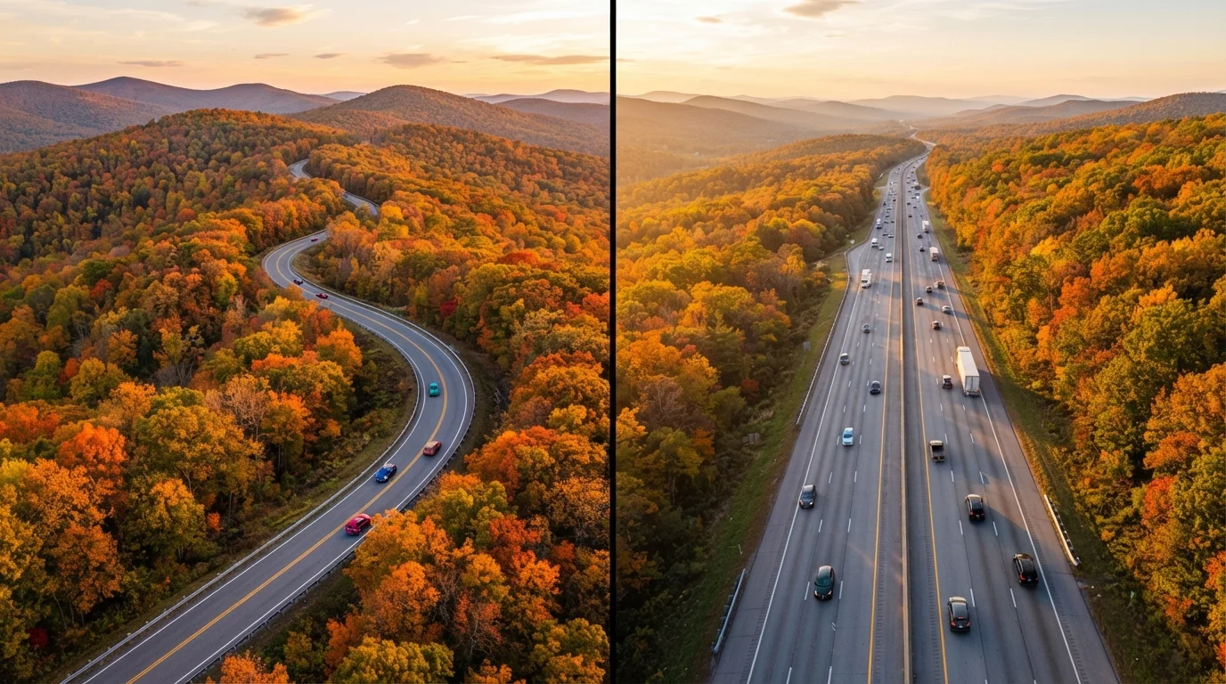
Connecting Shenandoah National Park to Great Smoky Mountains National Park, the Blue Ridge Parkway has no commercial trucks, no billboards, and a strictly enforced 45 mph speed limit - all by design. Fall foliage (typically late September through early November) transforms it into one of the most striking drives on the continent. The route's elevation changes mean weather can shift quickly.
Going-to-the-Sun Road (Glacier National Park, Montana, 50 miles)
Short but unforgettable. This alpine road bisects Glacier National Park, cresting at Logan Pass (6,646 ft). Vehicle length and width restrictions apply, and the road is typically open only from late June through mid-October depending on snowpack. It's one of the few drives where the road itself is a National Historic Landmark.
US-1 through the Florida Keys (Miami to Key West, ~160 miles)
The Seven Mile Bridge alone earns this route a place on any list. Causeway driving over open water with nothing but Atlantic and Gulf views is a genuinely unique experience. Traffic peaks heavily in winter, but early morning departures from Miami make a meaningful difference.
Want to weigh whether iconic corridors or lesser-traveled byways suit your style? Scenic byways vs. interstates breaks down the trade-offs clearly.
Planning Smart: Matching Route to Traveler
No single route is universally "best." The right choice depends on your timeline, vehicle, travel companions, and what moves you most - coastline, mountains, history, or wide-open solitude.
469 miles
Length of the Blue Ridge Parkway
According to the National Park Service, it is the longest linear park in the US national park system.
~35 million
Annual visitors to Blue Ridge Parkway
The Blue Ridge Parkway is consistently among the most visited units in the entire National Park System, per NPS visitor use statistics.
7 miles
Length of the Seven Mile Bridge, Florida Keys
One of the longest bridges in the world at the time of its construction, it remains a signature landmark of the Overseas Highway.
Travelers with limited time often underestimate drive days. Even a focused PCH run from San Francisco to Los Angeles takes two comfortable days if you're stopping meaningfully. Routes like Route 66, driven properly, require two to three weeks to do justice.
Going solo changes the calculus too - solo drivers often find smaller, quieter routes more rewarding. See solo vs. group road trip trade-offs for practical thinking on that decision.
And if the iconic routes feel too crowded for your taste, America's secondary roads hide remarkable rewards. Hidden gem drives across the US points toward volcanic country, canyon corridors, and forgotten small-town America that most travelers drive right past.
Travel conditions, road closures, and entry requirements can change. Always verify current status with official sources - including the relevant National Park Service, state DOT, or park authority - before departure.